
The Benguela System under climate change - Effects of Variability in physical forcing on carbon and oxygen budgets
02.02.2022 Welcome to the south of the Benguela upwelling system
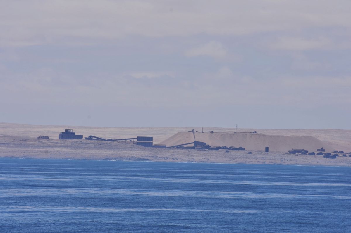
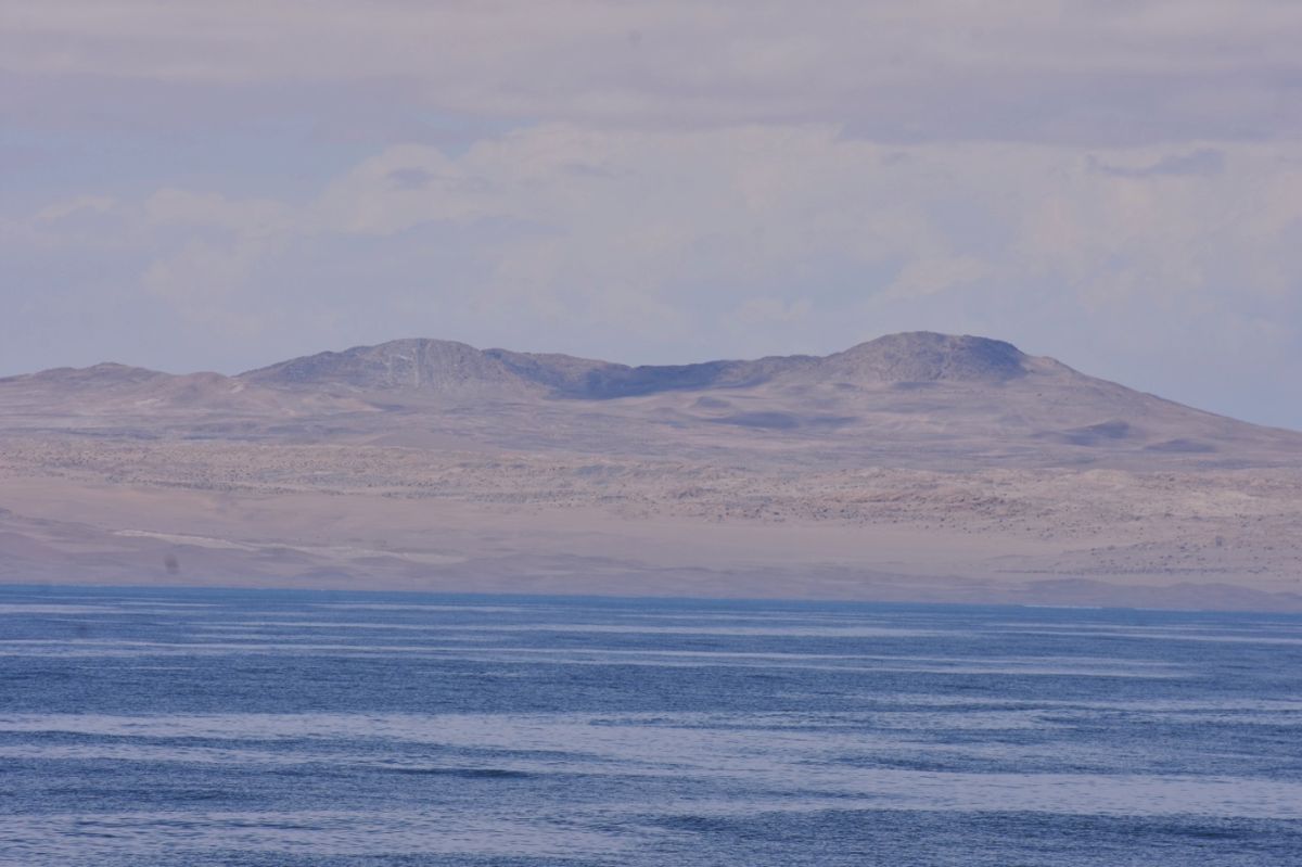
Just under 1 ½ weeks before the end of the first leg of the cruise, we have arrived at the southernmost transect of our study area. This lies at 27°S latitude, just slightly further south than the town of Lüderitz. This area, including the marine seabed, is known for its diamond deposits and so we are not allowed to take large soil samples close to shore with the gravity corer.
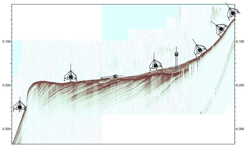
We first investigate the transect, like we did before, with the Scanfish and the Parasound. As mentioned in a previous blog, the Scanfish gives us information about the mixing ratio of the different water masses, as well as about the prevailing oxygen conditions. The Parasound, on the other hand, is a very important system to the geologists. With the help of the ship's own Parasound system it is possible to get an approximate idea of the composition and stratification of the seafloor. For this purpose, an acoustic pulse is emitted by the ship, which is reflected at various interfaces (mainly the seafloor). These reflected signals and especially their travel times are recorded. The signal can penetrate from a few meters to tens of meters deep, depending on the ground conditions of the seafloor. The Parasound system runs while the ship is moving. This results in several of these travel-time measurements along a profile. Ultimately, the travel-time measurements are then strung together to create an image of the seafloor.
This preliminary exploration of the seafloor with the Parasound system is very helpful for geological sampling with a gravity- and multi-corer in order to avoid unsuitable suites or to selectively sample layers of interest. Also, the Parasound profiles allow to track along the seafloor the course of certain interfaces determined in the following analysis of the sediments.
Furthermore, the box corer is deployed again by the benthos group. This device is similar to the already presented Van-Veen- grab sampler, but it is used for the collection of soil samples from seafloors below 500 m water depth. At such sampling sites, the Van Veen grab sampler would be too light in weight to position correctly on the seafloor. Because of its weight of several kg and its specific shape, the box corer stands securely on the seabed and can sink the sampling bucket into the sediment. It also carries more sediment to the surface.
The first days on this transect are mostly sunny and windless, which quite unusual. This is because the largest upwelling cell of the Benguela upwelling area is located off Lüderitz, which means that the weather here is often unsettled and windy.
Text: Fabian J., Braun P. (both IOW)
| Expedition: | MSM105 |
| Mission: | BUSUC 2 |
| Start: | 11.01.2022 - Walvis Bay |
| Ziel: | 23.03.2022 - Mindelo |
|
|
|